
The Canso Bomber Crash Site: A WWII Plane Wreck in Tofino, Vancouver Island
Discover the Canso Bomber crash site near Tofino, a WWII plane wreck hidden in the rainforest. Learn its history, how to hike the Bomber Trail, and what to expect on your visit.

8 February, 1945 – 23:00
A loaded WWII bomber departs RCAF Tofino on a routine antisubmarine patrol of Vancouver Island’s West Coast. Almost immediately after takeoff, the port-side engine begins to sputter before failing completely.
Armed with four 255 lb depth charges and hurtling through the dark night, the pilot is forced to make a quick decision that could mean life or death…
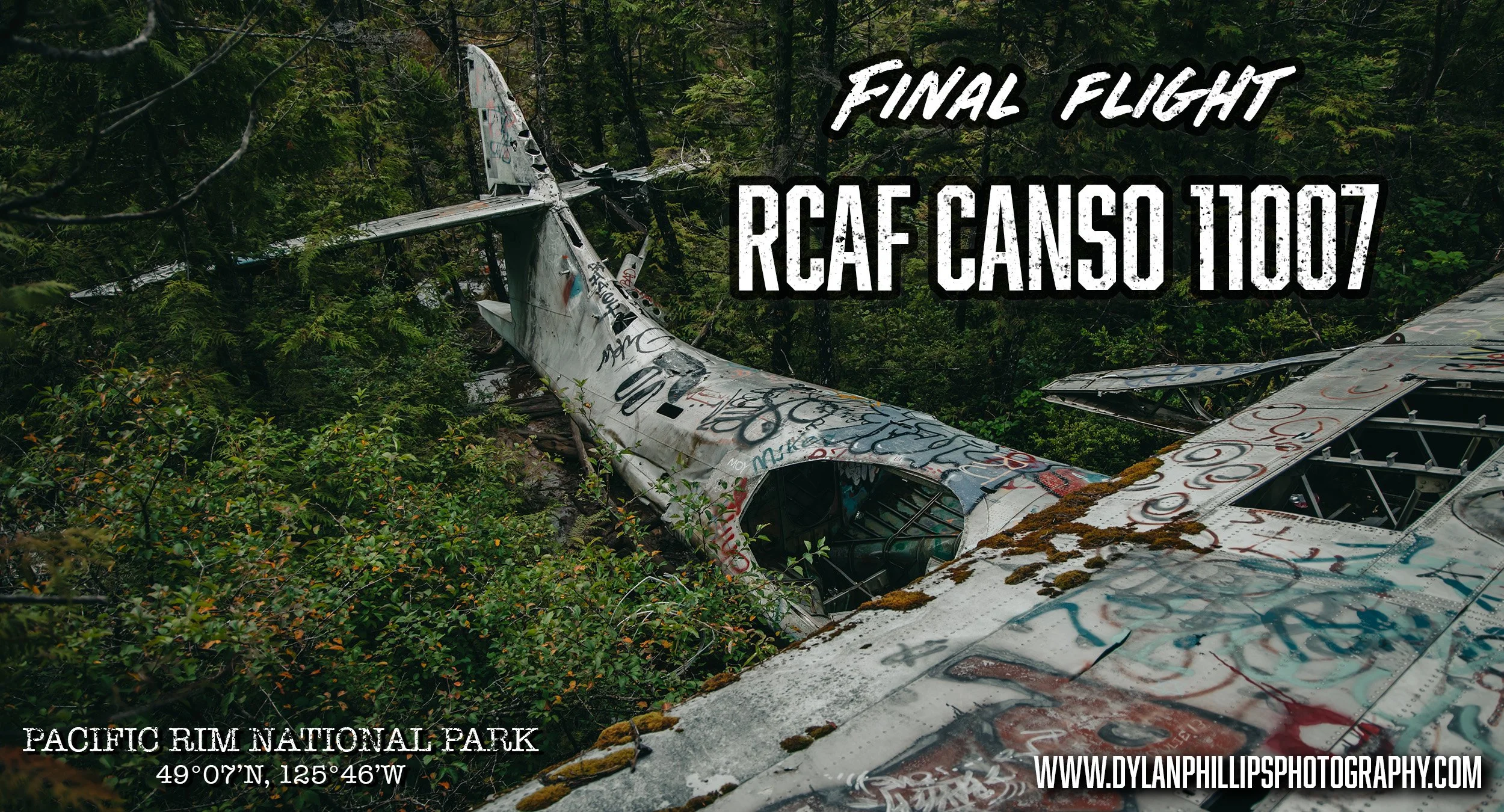
This is the final flight of RCAF Canso 11007.
The Final Flight of Canso 11007
Consolidated Canso 11007, one of 150 produced by Consolidated Vickers in Montreal, is a Canadian variant of the American PBY Catalina. A unique amphibious aircraft with a parasol wing, the PBY Catalina and its variants were among the most widely used seaplanes during World War II. It’s estimated that over 4,000 Catalinas and their variants were produced between 1937 and 1945. The aircraft served in many different capacities but was most extensively used for antisubmarine warfare.

Canadian Vickers PBV-1A Canso A - Photo by Adrian Pingstone
Unfortunately for the RCAF’s Consolidated Canso 11007, this flight would be her last.
Show off your Wild Side with a Wild Portrait Experience
Survival in the Rainforest
The aircraft had barely cleared the runway when the port-side engine began to sputter. Moments later, the engine failed entirely. Unable to gain altitude or turn the plane around, 20-year-old Flight Officer Ronnie Scholes was forced to make a snap decision that could mean life or death for him and his 12 passengers. Descending rapidly toward the thick rainforest, Scholes made a brilliant maneuver, pulling the nose of the plane upward and putting the aircraft into a stall, slowing their impact speed significantly. Miraculously, all 12 people aboard survived the crash.
Banged up, bruised, and bloodied, the crew sat momentarily in silence. A crewman then heard a faint crackling sound to his left and looked out to see the port engine, now lying on the forest floor, had caught fire. Nearby, a stream of fuel poured from the ruptured left-wing fuel tank. The crewman jumped into action with an onboard fire extinguisher, smothering the fire before the fuel could ignite.
After surveying their situation, the crew gathered some emergency rations and an onboard “Gibson Girl” emergency radio before rigging up a makeshift shelter from a parachute. After the plane failed to arrive at its destination, search parties were sent out from RCAF Tofino. By morning, rescuers had reached the group in a boggy, timbered area only 3 miles west of the base. The crew and passengers were taken to the nearby base hospital while a separate team salvaged the aircraft’s .303 machine guns and communications equipment. The top-secret radar equipment was destroyed on site, and the four depth charges were safely detonated nearby. Evidence of this detonation can still be seen in the form of a large crater near the wreckage.

Satellite Imagery showing the wreck sites proximity to the runway - Google Earth
The Canso Bomber Trail Today
Now, 80 years later, the twisted wreckage of RCAF Canso 11007 has become a popular destination for visitors to the Pacific Rim National Park. I’ve long considered the Canso Bomber hike to be “low-hanging fruit” in terms of island adventures. The trail is relatively easy, especially now that rough-cut cedar planks have been laid through the most treacherous parts of the route, which meanders through boggy wetlands and rainforest.
No longer a well-kept secret, the Bomber Trail has been made famous through social media platforms like Instagram and TikTok. During summer months, the Canso Bomber receives hundreds of visitors a day and, like anything abandoned in the woods, is sporting a thick coat of graffiti.
My First Visit to the Bomber (2018)

The “Bunker”, Canso bomber trail, Tofino BC, 2025
My first venture to the Canso Bomber was in 2018. The walking trail between Tofino and Ucluelet had not yet been completed. I found the trailhead by parking at Radar Hill and walking south down the Pacific Rim Highway, counting the telephone poles. Not far along the trail is a building that is referred to as “the bunker.” Personally, I’m unsure of this building’s origins. I’ve heard that it was either a communication shack for the air force or a hydro station.

Hiking the Canso Bomber Trail, Tofino BC, 2025
My boots filled with mud and cold water as I traversed the boggy landscape, my Canon Rebel T5i in hand. I snapped photos recklessly, my passion for photography still in its infancy. Finally, I came upon the wreckage. I felt both excited and underwhelmed. It was disappointing to see this brilliant piece of history filled with empty beer cans and covered in graffiti. I remember being excited about the photos in the moment but disappointed when I got home and reviewed them. They weren’t anything spectacular.
Returning in 2025
Fast forward to August of 2025.
I came to Tofino for the second time this summer to meet up with some friends who were camping over the weekend. In true Tofino fashion, the hot August weather was substituted for rain and fog. Unsurprisingly, my mood was a bit low over the weekend.
I would have been content to lay around drinking tea and reading books if not for my friends pushing me to get out and enjoy the usual tourist activities with them. Our Saturday evening was spent braving the cold Pacific waters at sunset, if just for a few minutes at a time. Sunday was packed full of surfing, an activity that I’ve loved in the past but had taken a few years off from.
I’m so glad they talked me into surfing. I had a great day in the water. I caught some solid waves and fell back in love with the sport. It was time to head back to Nanaimo on Monday, and they had planned to hike the Bomber Trail on their way out. I reluctantly agreed, wondering if the rain would hold off enough to allow me to take photos. I knew these photos would be a dramatic improvement from my first trip to the Bomber. Seven more years of good experience and a serious upgrade in hardware—not to mention having some human subjects to put in the frame—meant potential for a great photo set.
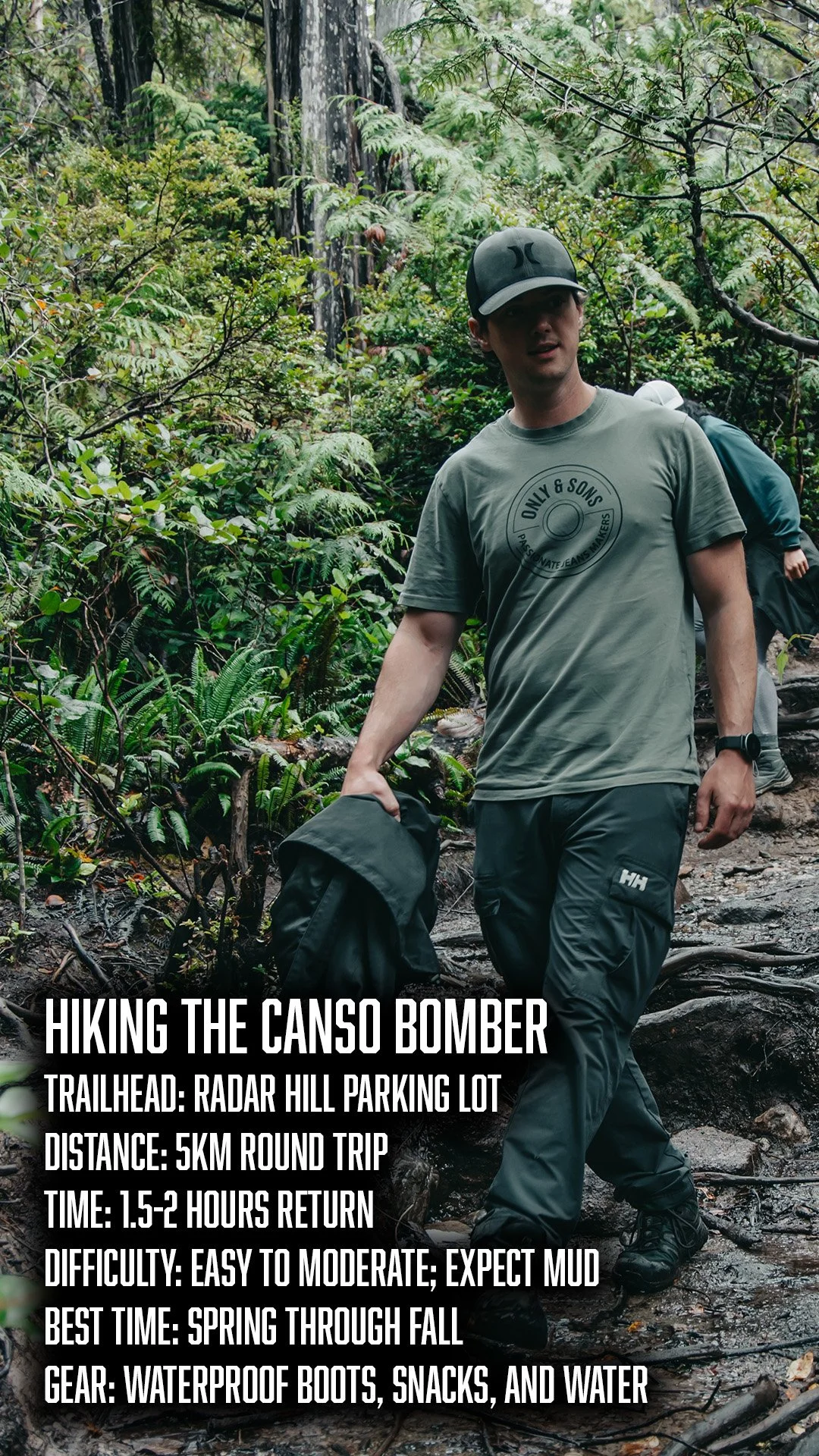
Hiking the Bomber Trail
We all met at the Radar Hill parking lot beforehand. With some water and snacks on hand, we were ready to hit the trail. It wasn’t long before we hit “The Bunker.”

Entrance to “The Bunker”, Canso Bomber Trail, Tofino BC, 2025
While the Bomber Trail is situated within the boundaries of Pacific Rim National Park, it is in no way a sanctioned visitor attraction. The trail is not maintained or advertised by Parks Canada at all. Descending the hill behind “The Bunker,” we began making our way into the bog. The planks are a nice addition to a swampy mud hole that wants nothing more than to steal your boots. Despite this, I stepped off the trail several times to snap photos and found myself nearly knee-deep in thick mud.

Group walking along a wooden boardwalk across a coastal bog on the hike to the Canso bomber crash site near Tofino, BC, 2025
Finally, we arrived at the crash site just as another group was leaving. Somehow, we managed to get five or six minutes alone with the plane before more people showed up. Besides that brief window, it was a steady stream of people coming in and out—much different from my experience years before.

Tail section of the Canso bomber emerging through trees

Hiker pointing up at the wing of the crashed Canso bomber hidden in Pacific Rim National Park forest
Photographing the Wreck

The plane is considerably more covered in stickers and spray paint than it was in 2018, but that didn’t stop me from feverishly snapping photos. I had to shoot quickly so as not to hold up my group. Thankfully, they were good sports and took simple direction while I composed some shots. It was only a few minutes before more people arrived.

Wreckage of the Canso Bomber

The Starboard Engine of Canso 11007 thrown from the wreckage
My goal is always to make the best images possible with what I’ve got on hand, and I think I achieved that well on this venture. There are lots of fantastic photos already floating around the internet of the Canso Bomber in Tofino and I’m happy to add these to the pile.

Examining the wreckage up close
Final Thoughts on the Canso Bomber Hike
On our hike out we were stopped more than a few times and asked about the plane—“Did you see it?” “How far is it?” “Am I going the right way?”
If you’re planning a trip out this way—and let’s be honest, you might as well; everyone else is—make sure you research the hike beforehand. There isn’t much cell signal in the parking lot. I’d also recommend a good pair of waterproof boots or shoes with lots of tread. I may have gently teased a twenty-something kid in a bucket hat for wearing his brand-new white sneakers for the hike.
It’s a very unique piece of history that’s fortunately easily accessible. Enjoy the hike!
Visiting Tips and Etiquette
Stay on the trails – this is a historic site. Do not dig or disturb the area.
Respect the land; leave no trace and be mindful of the environment.
You might also enjoy:
“Rising above the forest near South Wellington, the headframe at Morden Colliery is one of the last visible relics of Vancouver Island’s coal mining era. In this post, Vancouver Island photographer Dylan Phillips explores the history of the mine, the tragedy that struck here in 1912, and his own connection to one of the island’s most haunting industrial landmarks.”